


Engineering, Construction and Development
Defensible, time-stamped digital documentation to reduce rework, reduce costs and accelerate project delivery.
Clarity. Speed. Accuracy: Manage projects with confidence.
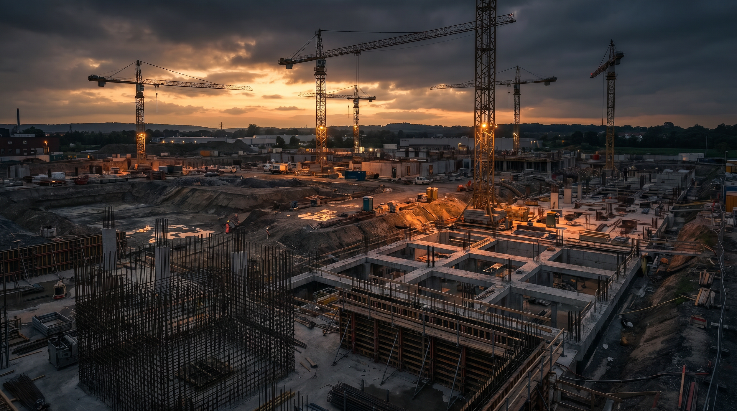
The Cost of Blind Spots in Construction
Rework Costs 5-10% of Total Project Value
You cannot fix what you cannot see. When manual QA fails to keep pace with construction speed, undetected errors compound into expensive rework and schedule delays.Progress Disputes and Claims Exposure
Without objective, time-stamped visual evidence, you are vulnerable to subcontractor disputes, unfair claims, and protracted payment negotiations.Manual QA Cannot Keep Pace
Traditional surveying and manual site walks are too slow for modern construction schedules. You need rapid, comprehensive data capture to maintain momentum and govern your projects effectively.Defensible Data for Engineering and Development
We transform physical sites into accurate digital twins, providing the objective data required to govern complex projects. 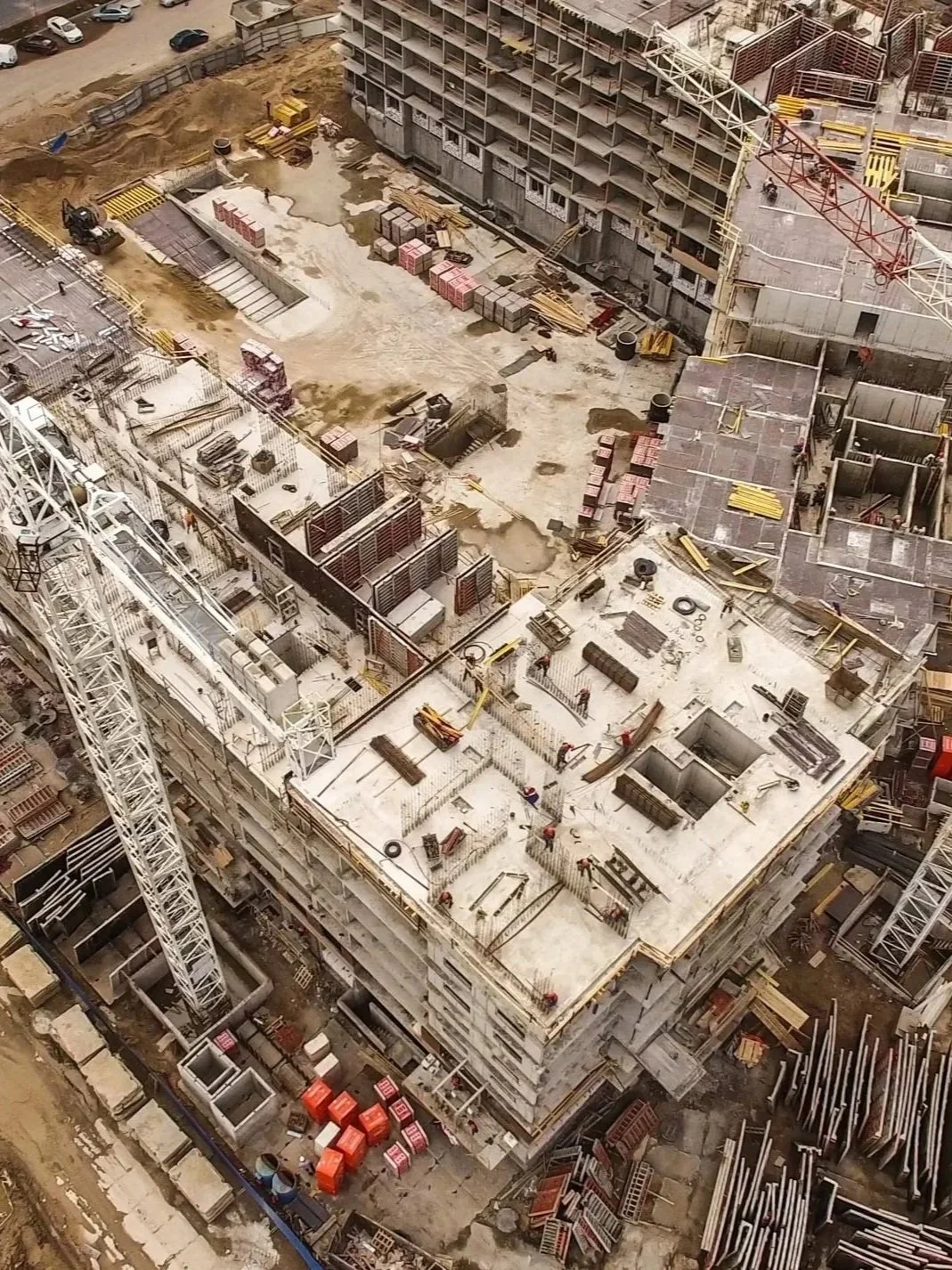
What Can We Deliver to Your Projects
Smarter insights. Faster workflows. Safer operations.
Rapid Site Capture: We deploy enterprise-grade drones to capture comprehensive site data faster than traditional methods.Survey-Grade Accuracy: Utilising Emlid RS3 RTK rover, Checkpoints and AeroPoints GCPs, we deliver positional accuracy down to +/-2cm, ensuring your earthworks volume surveys and model validations are dependable and precise.Seamless Integration: We use industry-leading platforms such as Bentley iTwin and follow strict data security protocols to keep your project information confidential and secure.Premium Intelligence Reduces Total Project Cost50–75% faster inspection and survey cycles Research demonstrating 30–40% rework reduction through early model-to-field validation.Early variance detection prevents downstream rectification.Independent documentation reduces claims ambiguity.Reducing working-at-height exposure can lower risk and compliance burden by up to 60%, helping your team work safer and with greater peace of mind.Centralised reporting improves executive decision velocity.Drone and 360-camera-enabled remote inspection, AR-enabled concealed works validation, visibility, and measurability delivered within live construction environments.-
Sub-centimetre accuracy using multi-sensor drone, ground and confined space systems.
Detect cracks, defects, corrosion, water ingress and structural anomalies early.
-
Track site progress, compare against design, manage subcontractor accountability and streamline approvals
-
Weekly or milestone reality capture supports QA, claims resolution, change management and OAC reporting.
-
Thermal overlays reveal leaks, insulation failures and moisture issues without physical access.
-
Caged drones and ground robots safely inspect voids, tanks, tunnels and internal structures.
-
DSM, DTM, volumetrics, cut fill analysis and layout data for planning and earthworks.
Frequently Asked Questions
How do you integrate with existing construction workflows?
We do not replace surveyors or engineers; we accelerate their information access to improve decision velocity and QA. We support contractor QA and engineering teams, integrate into BIM, scheduling and reporting systems, align capture to existing survey control where required, and deliver structured datasets compatible with enterprise workflows. Our role is to provide independent, measurable construction intelligence that strengthens compliance, reporting and commercial defensibility without disrupting established responsibilities.
How are drones used in construction inspections?
Drones capture high-resolution aerial imagery, LiDAR point clouds, and thermal data across construction sites to provide measurable progress documentation, quality assurance verification, and defect identification. Applications include progress monitoring against design models, earthworks volume calculations, facade and roofing inspections, structural steel verification, and environmental compliance mapping. All data is georeferenced and time-stamped for contractual defensibility.
How accurate are RTK-enabled drone surveys?
RTK-enabled surveys deliver +/-2cm horizontal and vertical accuracy when combined with Ground Control Points. This exceeds the accuracy requirements for most construction applications including earthworks volume calculations, setout verification, and progress measurement. For projects requiring higher precision, we establish site-specific survey control networks and validate accuracy against known benchmarks before each capture.
Do you replace surveyors?
No. We complement and accelerate the work of registered surveyors and engineers. Our data provides the spatial intelligence layer that informs their professional decisions. We capture the raw spatial data at scale and speed that manual methods cannot match, then deliver it in formats that integrate directly into their existing workflows. The surveyor or engineer retains professional responsibility for interpretation and certification.
Why not use an internal drone team?
Internal drone teams require ongoing investment in equipment ($50,000-$200,000+), pilot training and currency maintenance, CASA compliance management, insurance, software licences, and processing infrastructure. Most construction companies find that the utilisation rate of an internal team does not justify the fixed cost. Our model provides enterprise-grade equipment, certified pilots, and professional processing without the capital outlay, compliance burden, or utilisation risk. You pay per project, not per year.
How accurate are your earthworks volume surveys?
Our earthworks volume calculations achieve accuracy within 1-3% of total volume when using RTK-enabled LiDAR or photogrammetry with Ground Control Points. This exceeds the accuracy of traditional GPS rover surveys for large sites because we capture millions of surface points rather than interpolating between spot measurements. Cut/fill volumes, stockpile quantities, and site balance calculations are delivered within 48 hours of capture.
Can your data integrate with our existing BIM software?
Yes. We deliver in formats compatible with all major BIM platforms including Autodesk Revit, Navisworks, Bentley, Trimble, and ArchiCAD. Point clouds export in LAS/LAZ and E57 formats. 3D meshes export in OBJ, FBX, and IFC. Orthomosaics export in GeoTIFF. Design-to-reality comparison overlays the as-built model against the design model to identify deviations, enabling real-time QA verification without waiting for traditional survey turnaround.
How does AR reduce construction rework?
Augmented reality allows digital models to be overlaid onto live site conditions. This enables early detection of installation variance, rough-in validation before concealment, verification of design intent in-field, and reduced downstream rectification exposure. Rework in construction is widely estimated at 5-15% of the project cost. Early model-to-field validation reduces avoidable variance and protects margin.
Are drone inspections compliant in Australia?
Yes. All operations are conducted under our CASA commercial operators licence with documented safety management systems, site-specific risk assessments, and appropriate endorsements for the operational environment. We hold endorsements for Extended Visual Line of Sight, night operations, and operations over populated areas. All pilots maintain current aviation medical certificates and ongoing proficiency requirements.
What is it like to work with you?
We operate as an extension of your project team. Engagement starts with a scoping call to understand your project requirements, timeline, and deliverable needs. We provide a fixed-price quote within 24 hours. On site, our team integrates with your safety systems, attends toolbox talks, and coordinates with site supervisors. Post-capture, you receive structured deliverables in your preferred format within agreed timeframes. A dedicated project manager is your single point of contact throughout.
How is progress quantified across trades?
We overlay as-built reality models against the design model and construction schedule to quantify progress by trade, zone, and milestone. This provides independent, measurable evidence of work completed versus planned, supporting progress claims, variation assessments, and schedule analysis. Time-stamped 3D models create an indisputable record of site conditions at each capture date, supporting dispute resolution and contractual defensibility.
How do you support claims and dispute defensibility?
Every capture creates a time-stamped, georeferenced, measurable 3D record of site conditions. This provides independent evidence for progress claims, delay analysis, variation quantification, and defect liability disputes. Data is stored securely with full chain-of-custody documentation. Our digital twins have been used successfully in adjudication, mediation, and litigation proceedings as objective evidence of site conditions at specific dates.
How secure is project data?
All project data is processed and stored on enterprise-grade infrastructure with ISO 27001 security controls. Access is restricted via role-based permissions with multi-factor authentication. Data is encrypted in transit and at rest. We execute non-disclosure agreements as standard and can comply with project-specific security requirements including government security classifications where required.